This weekend we picked our hiking destination based on weather.com. Cold temperatures and light snow were predicted for most of a three hour radius of Cincinnati, so we aimed for as far south as we dared go on a Friday night. We had avoided this park on previous trips because the reviews of the trails were not particularly positive. Much of what I had read was that the trails were nearly ruined by horses. But we figured muddy trails were better than snowy trails and got into the campground late Friday evening. There was the added bonus of crossing into the central time zone on the way.
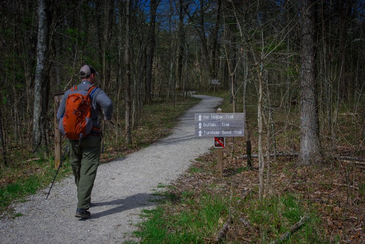
Our first stop in the morning was the ranger station to get the obligatory passport stamp and seek opinions on the best trails in the area. The visitor center was chaotic with those purchasing cave tour tickets. The rangers were not particularly helpful in selecting a trail, but informed us that over 70 miles of trail were available. This was very appealing already. So many of the longer hikes in the midwest take us from road bed to backyard with little wilderness in between. We looked forward to actually getting away from it all. Looking at the map we devised a loop with the Sal Hallow and Buffalo Creek trails and headed for the Maple Springs trailhead.

The trailhead is only a few miles from the Visitor Center and campground, but we figured out why the road was named Green Ferry Road. Usually such things are not so literal.

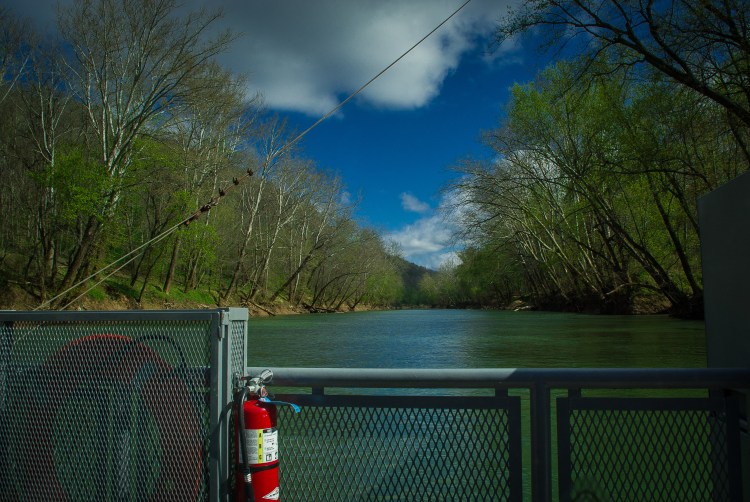
The trailhead parking lot was large with vault toilets. We did not see a water source, but our camelbacks were full. The trailhead was well-marked.
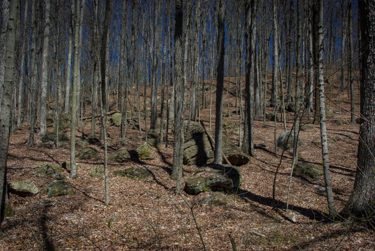
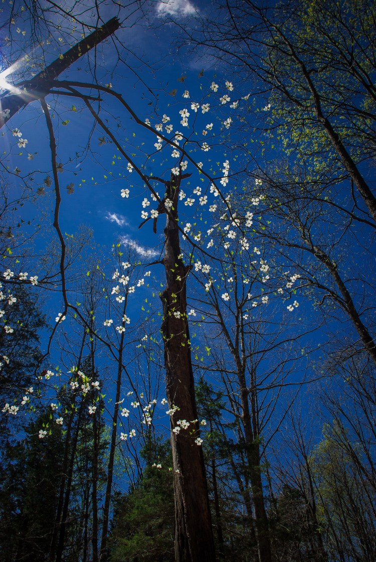
The first 4 miles of the trail could not have been more level or well marked. It was truly a beautiful and leisurely stroll through the woods. We walked along the edge of the hillside and the relatively bare trees allowed us to glimpse the hollow and opposing ridge. There was evidence of horses through some of the wetter sections of trail and the occasional pile of droppings, but overall we found this section of the trail to be in great shape and very well maintained.
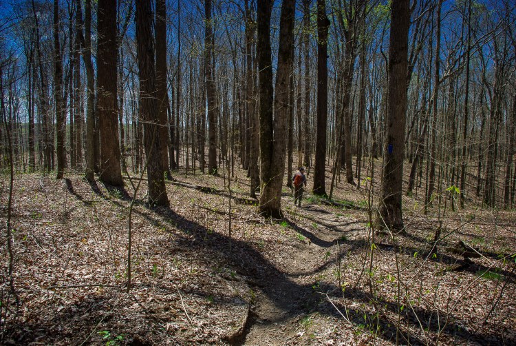

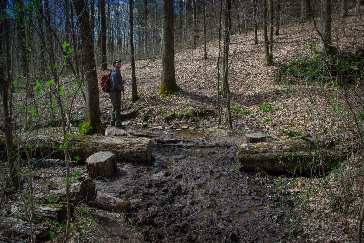

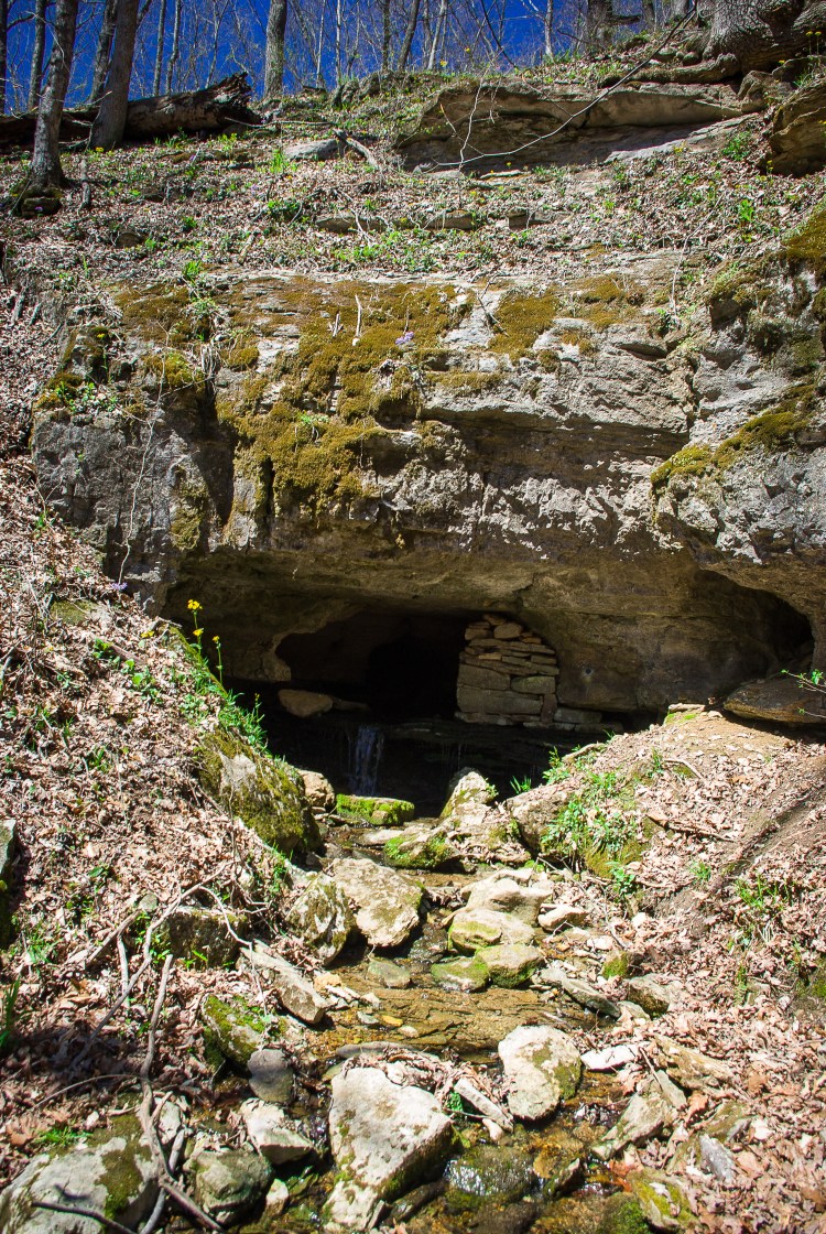
We managed to hike the first 3.5 miles seeing only one other hiker with his canine guide. It always amazes me that one area of a park can be so crowded with people and a few short miles away there can be complete solitude. At 3.78 miles the trail branched. Here there was an option to create a much shorter loop. We got the impression that most hikers take this option as the maintenance of the trail seemed to decrease a bit after this. The trail was much more pockmarked with horse hooves over the next three miles with many areas forcing the hiker well into the surrounding brush to avoid sinking deep into the mud or turn an ankle on rough ground. However, this area also provided interesting encounters with sinkholes and springs, reminding us that we were walking on top of the world’s longest cave system.


The only real elevation change came in the half mile before the Sal Hallow camp site. First there was a descent that was made moderately difficult by the impact of horse traffic. This ended in a lovely clear stream and sycamore grove. We took another brief snack break before the only climb of the hike. A gradual ascent lead to a single switchback up a couple hundred feet of hillside. I think this was the only time I broke a sweat the entire hike, but then again, it was a brisk day. For a brief quarter mile we were even able to see the Green River that we had been following for most of the hike.


Another mile past the Sal Hollow campsite and we intersected the Buffalo Creek Trail. This path looked so straight on the map, it was a little disconcerting. Trails are never straight. Once we reached the area, we found this trail was, in fact, a road. So the walking was easy if a little rough on our fatigued feet. I found myself remembering the soft pine-covered paths of the beginning section of the trail as my ankles rolled over large rocks.


On the last couple miles of trail we began to run into other small groups of hikers. Overall, this was a wonderful long day hike. Again, such a feeling of seclusion in the woods is not particularly common in this area. And despite the occasional challenge posed by wear-and-tear from horses, the trail was fairly well maintained. There were no sweeping views, but the woods were beautiful and we were surprised by the occasional spring and cave entrance. Of course we cannot vouch for the trail in wetter conditions or other seasons. But we will certainly come back and would recommend the trail for anyone looking for some bigger miles or perhaps an overnight trip. In fact, I think this may be some of the best backpacking trail I have seen in the area.
Length: 11.1 miles
Rating: 4 stars

Nice pictures !
LikeLike